Michigan State Geography Pack
$3.50
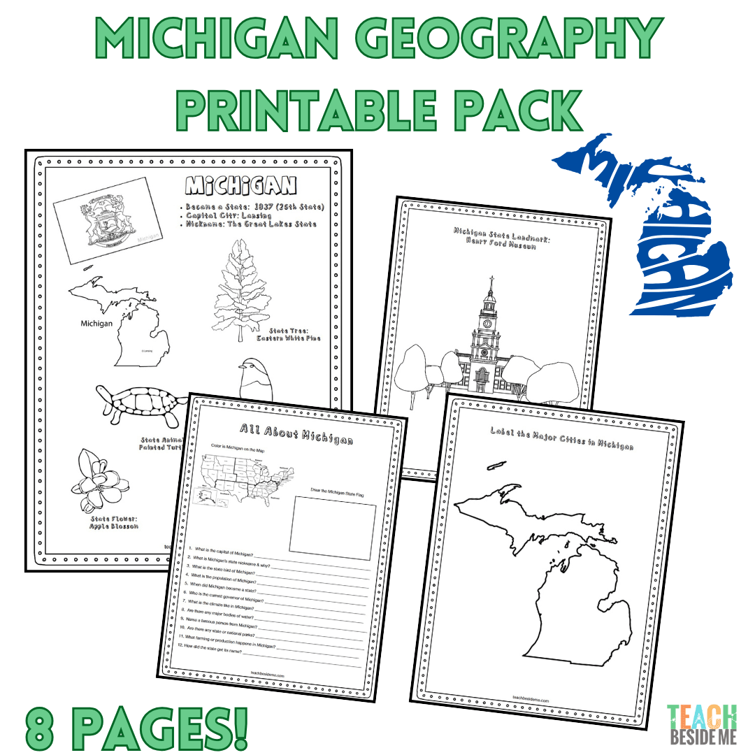
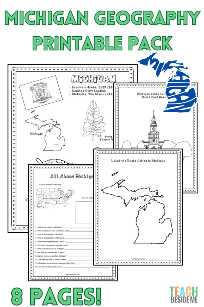
Michigan State Geography Pack – 8 Printable Pages
Explore The Great Lakes State with this engaging geography printable pack for kids! Students will learn about Michigan’s maps, landmarks, Great Lakes, and state symbols through hands-on activities.
Perfect for homeschool, classrooms, and U.S. state studies.
Includes:
- State fact coloring page
- Great Lakes regional map
- Landmark coloring page
- Michigan research worksheet
- Blank U.S. map
- Michigan labeling map
- State flag coloring page
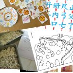
- Michigan-shaped maze
Just print and learn!
Description
This post may contain affiliate links.
Discover The Great Lakes State with this fun and educational Michigan geography printable pack! This 8-page resource introduces students to Michigan’s geography, landmarks, freshwater lakes, and state symbols while building map and research skills.
Perfect for homeschoolers, classrooms, and elementary social studies lessons, this printable set makes learning about Michigan engaging and interactive.
What’s Included
- Michigan Fact Coloring Page – featuring the state bird, flower, flag, and animal
- Great Lakes Regional Map
- State Landmark Coloring Page
- Michigan Info Worksheet for research and review
- Blank United States Map – locate Michigan in the country
- Michigan State Map – label cities, lakes, and neighboring states
- Large Michigan State Flag Coloring Page
- Michigan-Shaped Maze Activity
Perfect For
- U.S. geography lessons
- Homeschool state studies
- Elementary and middle school social studies
- State research projects
- Printable notebooking activities
- Independent learning centers
Students will learn about Michigan’s unique geography, Great Lakes, freshwater resources, and history while practicing map-reading and research skills.
Simply download, print, and start exploring Michigan!