Arizona State Geography Printable Pack
$3.50
Explore the Grand Canyon State with this Arizona State Geography Printable Pack!
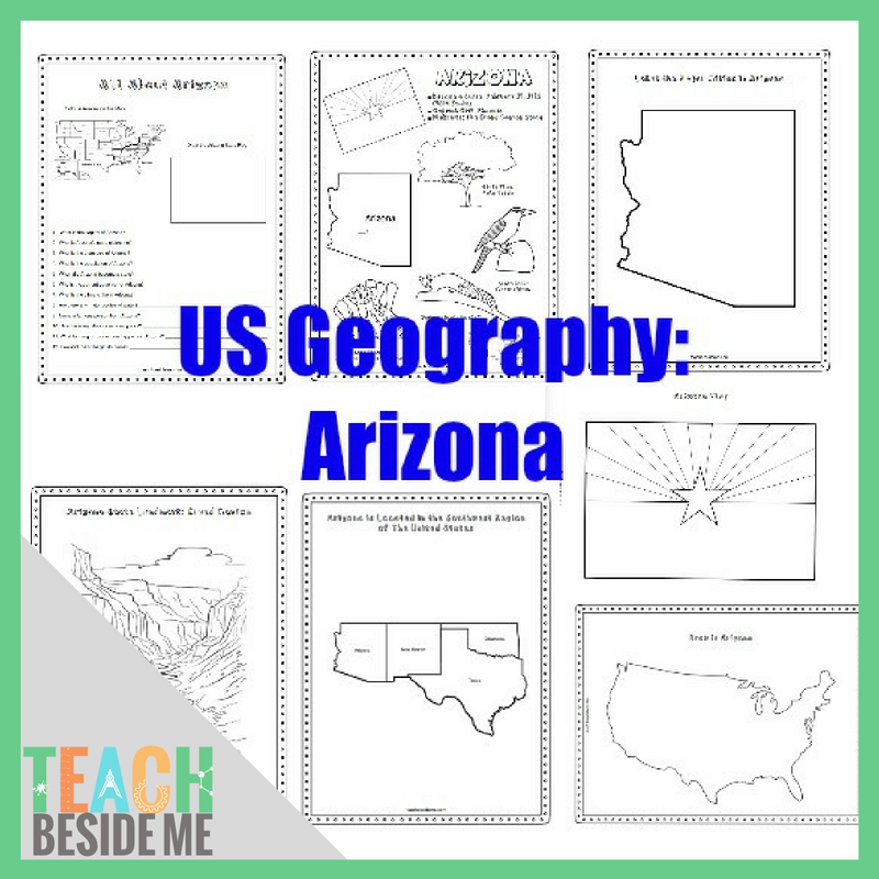
This 7-page geography resource helps kids learn about Arizona’s state symbols, landmarks, maps, and interesting facts through coloring, mapping, and research activities.
Includes Arizona map worksheets, a Grand Canyon coloring page, state flag coloring, and activities for exploring the state’s geography.
Perfect for elementary geography lessons, homeschool state studies, and learning about all 50 states.
Digital PDF download. No physical product will be shipped.
You may also like…
-
Sale!

50 States Geography Bundle #1: Alabama–Georgia
Original price was: $35.00.$25.00Current price is: $25.00. -


Description
This post may contain affiliate links.
Explore the Grand Canyon State with this Arizona Geography Printable Pack for Kids!
This 8-page printable state study helps children discover Arizona’s geography, landmarks, state symbols, and interesting facts through a variety of engaging activities.
Students will practice map skills, research state information, and learn about Arizona’s natural wonders while working through coloring pages and geography worksheets.
Perfect for homeschool U.S. geography studies, elementary classrooms, and families learning about all 50 states!
What’s Included?
This printable Arizona geography pack includes 8 pages featuring:
- Arizona State Symbols Coloring Page: Explore Arizona’s state bird, flower, flag, animal, and other symbols.
- Southwestern States Regional Map: Learn where Arizona is located in relation to neighboring states.
- Grand Canyon Coloring Page: Discover one of Arizona’s most famous natural landmarks.
- Arizona State Information Worksheet: Research interesting facts and important details about the state.
- Blank United States Map: Find and mark Arizona’s location within the country.
- Labeled Arizona Map: Explore important cities, landforms, and the state capital.
- Arizona State Flag Coloring Page: Learn about the design of Arizona’s flag.
Geography Skills Kids Practice
These printable activities help students:
- Locate Arizona on a United States map
- Identify neighboring states and regional geography
- Learn about Arizona’s capital and major cities
- Recognize important state symbols
- Explore famous landmarks and natural features
- Develop map-reading and research skills
- Practice recording and organizing information
Ways to Use the Arizona Printable Pack
50 States Geography Study- Add the Arizona worksheets to your study of the United States. Work through one state at a time and collect completed pages in a geography binder.
Homeschool Geography Lessons- Use the maps and research pages alongside an atlas, geography book, or online reference.
Classroom State Reports- Give students a starting point for researching Arizona’s landmarks, geography, and state symbols.
Cross-Curricular Learning- Extend your geography study with science lessons about the Grand Canyon, deserts, rock layers, and Arizona’s varied landscapes.

Product Details
- Format: Digital printable PDF
- Length: 7 pages
- Subject: United States Geography
- State: Arizona
- Suggested audience: Elementary and middle-grade students, with support as needed
- Materials needed: Printer, pencils, crayons or colored pencils, and an atlas or other research resource
This is a digital download. No physical product will be shipped.
Make learning about Arizona engaging with this printable collection of maps, coloring pages, and geography activities!
See the related blog post for more info.

Check out my Printables Membership to get unlimited access to ALL of my products + monthly creative learning plans!