Maine State Geography Printable Pack
$3.50
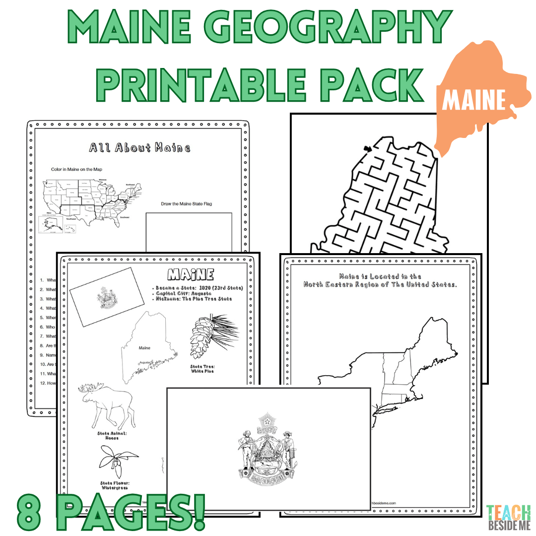
Explore Maine, the Pine Tree State, with this 8-page printable geography pack! Kids will learn about Maine’s maps, state symbols, landmarks, Atlantic coastline, forests, mountains, and more through engaging research, coloring, mapping, and maze activities.
Perfect for homeschool, classroom geography, and U.S. state studies.
Description
This post may contain affiliate links.
Explore Maine, the Pine Tree State, with this fun and educational printable geography pack! Students will learn about Maine’s geography, state symbols, landmarks, coastline, mountains, and natural features while practicing map and research skills.
This 8-page printable pack is perfect for homeschool geography, classroom state studies, independent learning, and U.S. geography units.
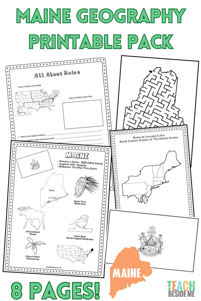
What’s Included:
- Maine Fact Coloring Page featuring state symbols
- Northeastern States Regional Map
- Maine Landmark Coloring Page
- Maine State Information & Research Worksheet
- Blank United States Map to locate Maine
- Maine State Map for labeling cities, waterways, and neighboring areas
- Large Maine State Flag Coloring Page
- Maine-Shaped Maze Activity
Students Can Learn About:
- Maine’s capital and major cities
- State bird, flower, flag, and other symbols
- The Atlantic coastline and islands
- Mountains, forests, lakes, and rivers
- Acadia National Park
- Maine’s lighthouses and coastal geography
- Natural resources and important industries
Perfect For:
- Homeschool geography
- U.S. state studies
- Elementary social studies
- Geography notebooks
- State research projects
- Learning centers
- Independent practice
Use this Maine printable on its own or combine it with the other resources in our 50 States Geography Series as you explore the United States one state at a time.
8 printable pages | Digital PDF download