
Kentucky State Geography for Kids: Printable Learning Pack
This post may contain affiliate links.
Next in our U.S. Geography series is Kentucky! Known as The Bluegrass State, Kentucky is famous for its rolling hills, horse farms, caves, and rich history. Located in the southeastern United States, Kentucky offers a fascinating mix of natural wonders, agriculture, and cultural traditions.
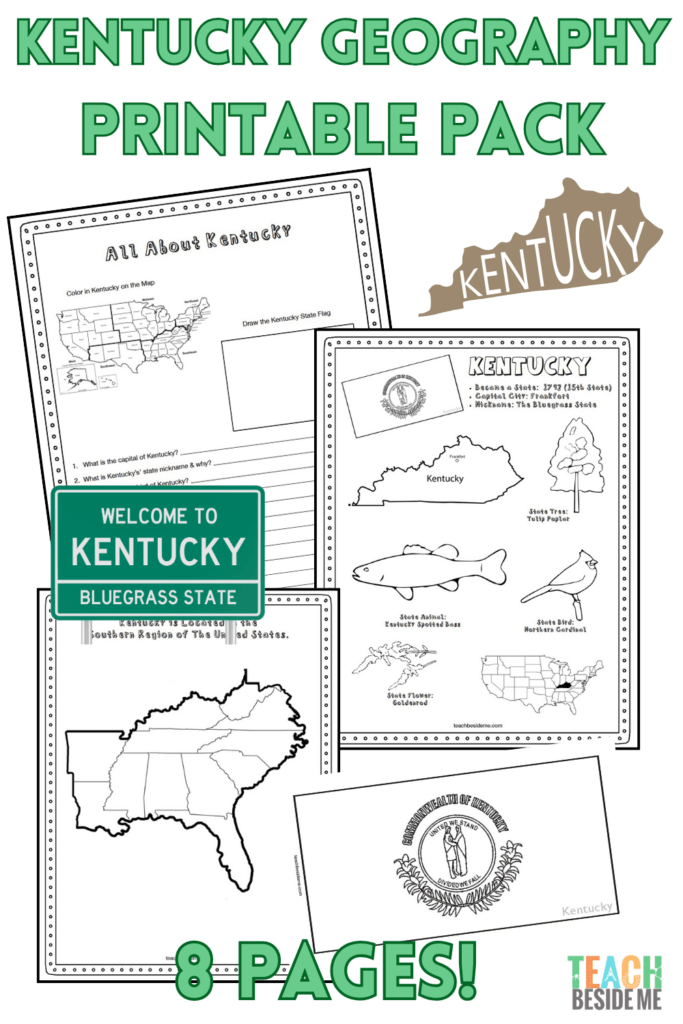
This Kentucky geography printable pack helps students learn about the state’s geography, landmarks, and symbols through hands-on maps, fun facts, and engaging learning activities.
Fun Facts About the State of Kentucky
Before you dive into the geography activities, enjoy these fun facts about Kentucky!
- Kentucky became the 15th state in the United States on June 1, 1792.
- The state capital is Frankfort, while the largest city is Louisville.
- Kentucky is nicknamed “The Bluegrass State” because of the blue-purple flowers that appear in its famous bluegrass pastures.
- The state bird is the Northern Cardinal, and the state flower is the Goldenrod.
- Kentucky borders Illinois, Indiana, Ohio, West Virginia, Virginia, Tennessee, and Missouri.
- The state is home to Mammoth Cave National Park, the longest known cave system in the world, with more than 400 miles of explored passageways.
- Kentucky is known for its beautiful horse farms and is home to the famous Kentucky Derby, one of the most well-known horse races in the world.
- Abraham Lincoln was born in Kentucky in 1809.
- The state contains portions of the Appalachian Mountains in its eastern region.
- Kentucky has rich deposits of limestone, which help create its caves, springs, and rolling landscapes.
- Agriculture is an important part of Kentucky’s economy, including horses, cattle, corn, and soybeans.
- Kentucky is crossed by major rivers including the Ohio River, Tennessee River, and Cumberland River.
Kentucky State Geography Printable Pack
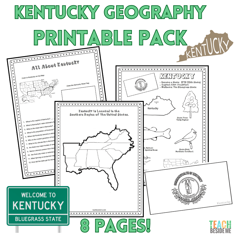
This 8-page printable geography pack helps students explore Kentucky through maps, research, and creative learning activities.
Included in this pack:
- Kentucky Fact Coloring Page (state bird, flower, flag, and animal)
- Southeastern States Regional Map
- State Landmark Coloring Page
- Kentucky Info Worksheet for student research
- Blank U.S. Map to locate Kentucky
- Kentucky State Map – label cities, rivers, and neighboring states
- Large Kentucky State Flag Coloring Page
- Kentucky-Shaped Maze Activity
This is available in my shop.

How to Use This Geography Pack
This printable set works well for homeschool or classroom geography lessons.
- Begin by reading the fun facts together.
- Use the maps to locate Kentucky and identify neighboring states.
- Complete the research worksheet using an atlas or online resources.
- Reinforce learning with the coloring pages and maze activity.
- Extend the lesson with the cave science activity below.
Recommended resources:
Kentucky Cave Science STEM Connection
Kentucky is home to Mammoth Cave National Park, the longest known cave system in the world. Over thousands of years, slightly acidic water slowly dissolved layers of limestone rock, creating the enormous underground passages that make up the cave system today.
Many caves contain fascinating formations called stalactites and stalagmites. Stalactites hang from cave ceilings, while stalagmites grow upward from the cave floor. These structures form very slowly as minerals carried by dripping water build up over time.
Kids can learn how these cave formations develop with our Stalactites and Stalagmites Science Activity, a hands-on experiment that demonstrates how mineral deposits can create cave structures.
Kentucky Geography Learning Extensions
Read-Aloud Pairings
- B is for Bluegrass: A Kentucky Alphabet(opens in new tab) by Mary Ann McCabe Riehle
- The Great Explorer of Mammoth Cave (opens in new tab)by Stephen Bishop
Virtual Field Trips
- Explore Mammoth Cave National Park online(opens in new tab)
- Take a virtual tour of Churchill Downs(opens in new tab) and learn about the Kentucky Derby
Hands-On Activities
- Build a cave model
- Research Kentucky horse breeds and farms
- Create a map of the Appalachian Mountains
Cross-Curricular Connections
- Compare the lengths of famous cave systems around the world
- Learn about cave ecosystems and animals that live underground
More State Geography Lessons to Explore
Previous State: Kansas State Geography for Kids: Printable Learning Pack
Next State: Louisiana Geography for Kids: Printable State Learning Pack
See the full series: Learn the 50 States: United States Geography Lessons & Activities for Kids