Louisiana Geography for Kids: Printable State Learning Pack
This post may contain affiliate links.
Next in our U.S. Geography series is Louisiana! Known as The Pelican State, Louisiana is famous for its winding bayous, rich cultural heritage, delicious cuisine, and unique wetlands. Located along the Gulf of Mexico, Louisiana is home to one of the largest river systems in North America and provides an excellent opportunity to study geography, ecosystems, and wildlife.
This Louisiana geography printable pack helps students explore the state’s maps, landmarks, and symbols through hands-on activities that make learning about the United States fun and engaging.
Fun Facts About the State of Louisiana
Before you dive into the geography activities, enjoy these fun facts about Louisiana!
- Louisiana became the 18th state in the United States on April 30, 1812.
- The state capital is Baton Rouge, and the largest city is New Orleans.
- Louisiana is nicknamed “The Pelican State” after its state bird, the Brown Pelican.
- The state flower is the Magnolia Blossom.
- Louisiana borders Texas, Arkansas, and Mississippi, and the Gulf of Mexico lies along its southern coast.
- The mighty Mississippi River flows through Louisiana before emptying into the Gulf of Mexico.
- Louisiana is famous for its bayous—slow-moving waterways surrounded by wetlands and swamps.
- The state is home to a wide variety of wildlife, including alligators, turtles, herons, egrets, and many species of fish.
- New Orleans is known around the world for its music, food, and the annual Mardi Gras celebration.
- Louisiana purchased from France as part of the Louisiana Purchase in 1803, doubling the size of the young United States.
- Wetlands in Louisiana help protect the coastline from hurricanes and provide important habitats for thousands of plants and animals.
Louisiana State Geography Printable Pack
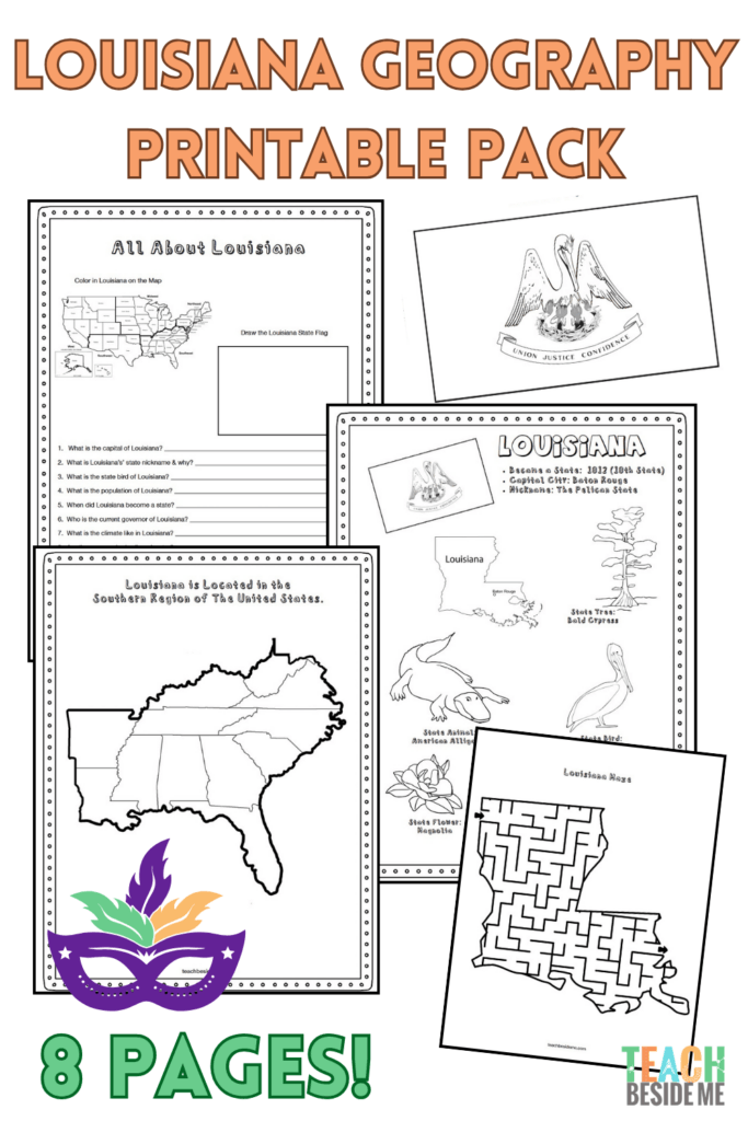
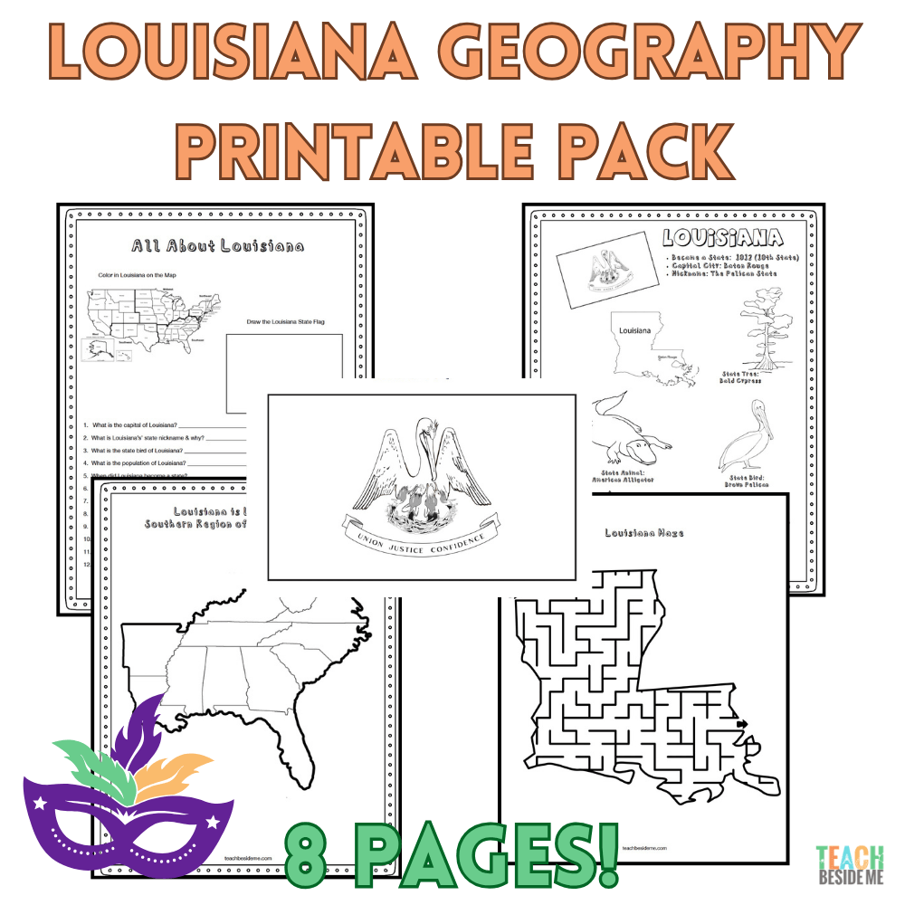
This 8-page printable geography pack helps students explore Louisiana through maps, research, and creative learning activities.
Included in this pack:
- Louisiana Fact Coloring Page (state bird, flower, flag, and animal)
- Southeastern States Regional Map
- State Landmark Coloring Page
- Louisiana Info Worksheet for student research
- Blank U.S. Map to locate Louisiana
- Louisiana State Map – label cities, rivers, bayous, and neighboring states
- Large Louisiana State Flag Coloring Page
- Louisiana-Shaped Maze Activity
This is available in my shop.

How to Use This Louisiana Geography Pack
This printable set is easy to use in homeschool or classroom geography lessons.
- Read the fun facts together to introduce Louisiana.
- Locate Louisiana on the regional and U.S. maps.
- Complete the research worksheet using a children’s atlas or trusted online resources.
- Reinforce learning with the coloring pages and maze.
- Extend the lesson with the ecosystem activity below.
Recommended Resources:
- The 50 States by Gabrielle Balkan(opens in new tab)
- National Geographic Kids United States Atlas(opens in new tab)
Leaning more states? Grab this in the discounted 10 state bundle: U.S. States Geography Bundle #2 – 10 State Activity Packs
Louisiana Wetlands STEM Connection
Louisiana Wetlands STEM Connection
Louisiana is home to thousands of acres of wetlands, swamps, and bayous. These unique ecosystems act like nature’s water filters, trapping sediment and pollutants while providing important habitats for birds, fish, reptiles, amphibians, and countless other wildlife. Wetlands also help absorb floodwaters and protect coastal communities from storms.
Louisiana’s wetlands also help reduce flooding by slowing and absorbing water during heavy rains and hurricanes. Because much of southern Louisiana sits close to sea level, engineers have also built levees to help protect communities from flooding along the Mississippi River.
Discover how wetlands help clean water with our DIY Water Filtration Project, a hands-on STEM activity that demonstrates how layers of natural materials can remove dirt and debris from water. Then explore how the plants and animals living in these habitats depend on one another with our Food Chain Game, and learn to identify wetland wildlife with our Animal Habitat Sorting Mats.
Louisiana’s Geography
Louisiana has one of the most unique landscapes in the United States. Much of the southern part of the state is made up of wetlands, marshes, swamps, and bayous that were formed by the Mississippi River as it carried rich sediment toward the Gulf of Mexico. These deposits created areas of fertile soil, making Louisiana an excellent place for farming.
In northern Louisiana you’ll find forests and prairies, while southern Louisiana is famous for its cypress trees, winding waterways, and coastal marshlands. Large lakes like Lake Pontchartrain and an extensive system of levees help manage the state’s abundant water.
Louisiana’s location on the Gulf of Mexico means it experiences tropical storms and hurricanes, especially during late summer and fall. Strong storms have shaped both the landscape and the way people build homes and protect communities with levees and wetlands.
Check out my Hurricane Science Experiment to learn more about them.
These waterways and landscapes also provide many of Louisiana’s natural resources, including seafood, timber, fertile farmland, oil, and natural gas. Together, these resources support the state’s economy and the people who live there.
Louisiana Geography Learning Extensions
Read-Aloud Pairings
- P is for Pelican: A Louisiana Alphabet(opens in new tab) by Ann C. Prieto
- Bayou Adventures: A Louisiana Coloring Book(opens in new tab) by Brianna McDonald
Virtual Field Trips
There are a lot of YouTube video tours of these.
- Explore the French Quarter in New Orleans
- Visit Jean Lafitte National Historical Park and Preserve
- Learn about the Mississippi River Delta
Hands-On Activities
- Create a simple wetland diorama
- Research animals that live in Louisiana’s swamps and bayous
- Draw the path of the Mississippi River from Minnesota to the Gulf of Mexico
Cross-Curricular Connections
- Compare different ecosystems such as wetlands, forests, and deserts.
- Learn how rivers shape the land through erosion and deposition.
History Connection
Did you know Louisiana was once part of France? In 1803, the United States purchased this enormous territory from France in the Louisiana Purchase, doubling the size of the young nation and opening the way for westward expansion.
More State Geography Lessons to Explore