Massachusetts State Geography for Kids: Printable Learning Pack
This post may contain affiliate links.
Next in our U.S. Geography series is Massachusetts! Known as The Bay State, Massachusetts is famous for its important role in American history, historic cities, beautiful Atlantic coastline, and fascinating natural landscapes. Located in the New England region of the northeastern United States, Massachusetts offers wonderful opportunities to explore geography, early American settlements, ocean science, and the American Revolution.
This printable Massachusetts geography pack helps kids learn about the state’s geography, landmarks, history, and symbols through maps, research, coloring, and hands-on learning activities.
Fun Facts About the State of Massachusetts
Start your Massachusetts state study with these interesting facts!
- Massachusetts became the 6th state to join the United States on February 6, 1788.
- The state capital and largest city is Boston.
- Massachusetts is nicknamed “The Bay State” because of its many bays along the Atlantic coastline.
- The state bird is the Black-Capped Chickadee, and the state flower is the Mayflower.
- Massachusetts borders New Hampshire, Vermont, New York, Connecticut, and Rhode Island, with the Atlantic Ocean to the east.
- The Pilgrims arrived aboard the Mayflower in 1620 and established Plymouth Colony.
- The first Thanksgiving traditionally associated with the Pilgrims and the Wampanoag people took place in Plymouth in 1621.
- Boston played an important role in the American Revolution, including the Boston Tea Party and the events leading up to the Battles of Lexington and Concord.
- Cape Cod is a famous hook-shaped peninsula known for its beaches, lighthouses, and coastal communities.
- Massachusetts is home to Harvard University, founded in 1636, the oldest institution of higher education in the United States.
- The state has several offshore islands, including Martha’s Vineyard and Nantucket.
- The Berkshire Mountains are found in western Massachusetts.
- Massachusetts is known for its cranberry bogs, which are used to grow one of the state’s most famous agricultural products.
Massachusetts Geography and Landscape
Massachusetts is part of the New England region of the northeastern United States. Although it is one of the smaller states, it has a varied landscape that includes mountains, forests, rolling hills, river valleys, sandy beaches, and rocky coastlines.
Western Massachusetts is home to the Berkshire Mountains, part of the larger Appalachian Mountain system. The state’s highest point, Mount Greylock, rises to 3,491 feet above sea level. The Connecticut River Valley runs through the central and western part of the state, providing fertile land for farming and agriculture.
Eastern Massachusetts has a long coastline along the Atlantic Ocean, with numerous bays, harbors, and islands. Massachusetts Bay, Cape Cod Bay, and Buzzards Bay are important coastal features. Cape Cod stretches into the Atlantic Ocean and is famous for its sandy beaches, dunes, salt marshes, and lighthouses.
Massachusetts also has many rivers, lakes, and wetlands. Its natural resources include forests, fisheries, fertile agricultural land, and coastal habitats. Fishing and maritime trade have played important roles in the state’s history and economy.
The geography of Massachusetts helped shape its history. Natural harbors made coastal settlements and shipping possible, while rivers provided transportation and waterpower for early industries. Today, these landscapes continue to support communities, recreation, tourism, and wildlife.
Massachusetts State Geography Printable Pack
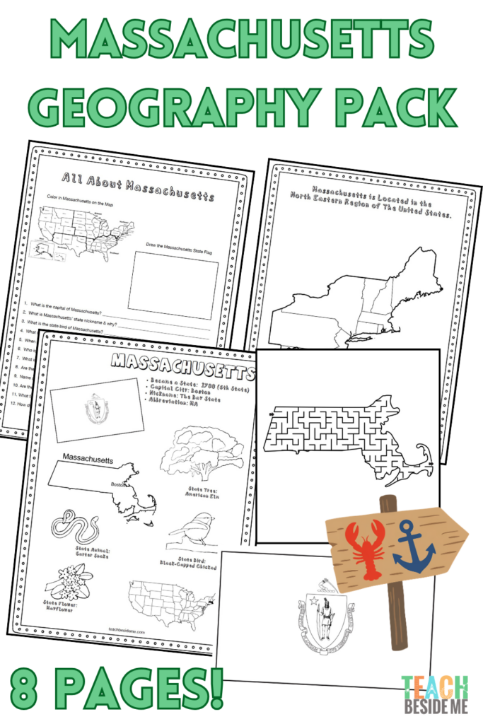
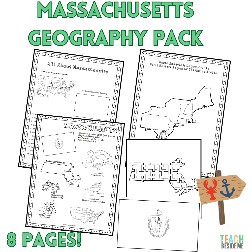
This 8-page printable geography pack helps students explore Massachusetts through maps, research, and creative learning activities.
Included in this pack:
- Massachusetts Fact Coloring Page featuring state symbols
- Northeastern States Regional Map
- Massachusetts Landmark Coloring Page
- Massachusetts Info Worksheet for student research
- Blank U.S. Map to locate Massachusetts
- Massachusetts State Map – label cities, rivers, and neighboring states
- Large Massachusetts State Flag Coloring Page
- Massachusetts-Shaped Maze Activity
Recommended resources:

Get your copy of the Massachusetts State Geography pack now!
This is available in my shop.

Massachusetts History and Hands-On Learning Connection
Massachusetts played an important role in early American history. In 1620, the Pilgrims arrived aboard the Mayflowerand established Plymouth Colony. The following year, Plymouth colonists and members of the Wampanoag peopleshared a harvest gathering that later became associated with the Thanksgiving holiday. The Wampanoag had lived in the region for thousands of years before European settlement, and their history and culture continue today.
Bring this history to life with our Thanksgiving and Pilgrim learning activities! Explore the story of the early Plymouth settlement, learn about the Mayflower voyage, and use our This Is the Feast Story Sticks to add hands-on storytelling to your history lessons.
Massachusetts also played a central role in the American Revolution. Older students can extend their study by researching the Boston Tea Party, Paul Revere’s ride, and the Battles of Lexington and Concord.
These activities make wonderful cross-curricular connections between geography, literature, history, and hands-on learning.
Massachusetts Geography Learning Extensions
Read-Aloud Pairings
- Make Way for Ducklings by Robert McCloskey
- The Pilgrim’s First Thanksgiving by Ann McGovern
- The Scarlet Stockings Spy by Trinka Hakes Noble
Virtual Field Trips
- Explore Plymouth Patuxet Museums and learn about Plymouth Colony and Wampanoag history.
- Walk Boston’s historic Freedom Trail virtually.
- Visit Cape Cod National Seashore to learn about coastal landforms.
- Explore Minute Man National Historical Park, where the American Revolution began.
Hands-On Activities
- Build a model of the Mayflower and test whether it floats.
- Create a map of the Pilgrims’ journey across the Atlantic Ocean.
- Research the Boston Tea Party and create a timeline of Revolutionary War events.
- Explore the geography of Cape Cod and investigate how ocean waves, wind, and erosion shape coastlines.
- Learn about cranberry farming and how cranberry bogs are flooded for harvesting. Try my Cranberry Engineering activity!
Cross-Curricular Connections
- History: Compare life in Plymouth Colony with life in the Wampanoag communities already living in the region.
- Science: Investigate coastal erosion and how Cape Cod’s shape has changed over time.
- Geography: Compare Massachusetts’ coastal plains with its western mountains.
- Literature: Read stories set in Boston and colonial New England.
- Math: Calculate the distance between Plymouth, Boston, and Cape Cod, or compare the heights of mountains in New England.
More State Geography Lessons to Explore
Continue through the entire 50 States Geography Series to explore the United States one state at a time!