Maine State Geography for Kids: Printable Learning Pack
This post may contain affiliate links.
Next in our U.S. Geography series is Maine! Known as The Pine Tree State, Maine is famous for its rocky Atlantic coastline, beautiful forests, lighthouses, islands, and mountains. Located in the northeastern corner of the United States, Maine offers plenty of opportunities to explore coastal geography, marine ecosystems, forests, and natural resources.
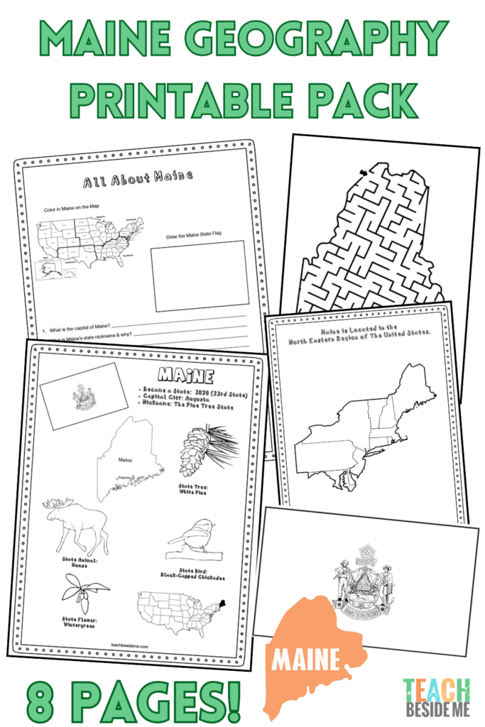
This printable Maine geography pack helps kids learn about the state’s geography, landmarks, and symbols through maps, research, coloring, and other hands-on activities.
Fun Facts About the State of Maine
Start your Maine state study with these interesting facts:
- Maine became the 23rd state in the United States on March 15, 1820.
- The state capital is Augusta, while the largest city is Portland.
- Maine is nicknamed “The Pine Tree State” because forests cover much of the state.
- The state bird is the Black-capped Chickadee, and the state flower is the White Pine Cone and Tassel.
- Maine is the northeasternmost state in the United States.
- It borders New Hampshire as well as the Canadian provinces of Quebec and New Brunswick.
- Maine has a long, rugged coastline along the Atlantic Ocean with thousands of islands.
- Acadia National Park is located along Maine’s coast and includes mountains, forests, lakes, rocky beaches, and islands.
- Maine is famous for its many historic lighthouses, which have helped guide ships along its rocky coast.
- The state is well known for lobster, blueberries, potatoes, and maple syrup.
- Maine has more than 6,000 lakes and ponds.
- Mount Katahdin is the highest point in Maine and the northern end of the Appalachian Trail.
Maine’s Geography and Landscape
Maine has a wonderfully diverse landscape. Along the Atlantic Ocean, you’ll find rocky shores, sandy beaches, bays, harbors, islands, and coastal wetlands. The movement of ocean tides continually changes Maine’s shoreline and creates habitats for many kinds of marine plants and animals.
Travel inland and the landscape changes to thick forests, rivers, lakes, and mountains. Maine is part of the Appalachian Mountain region, with Mount Katahdin rising to 5,269 feet above sea level. The state’s many rivers and lakes provide important freshwater habitats as well as opportunities for recreation.
Forests are one of Maine’s most important natural resources. Timber and paper products have long been important industries in the state, while its Atlantic coastline supports fishing and seafood industries. Maine is especially famous for its lobster harvest.
One of the best places to experience Maine’s varied geography is Acadia National Park, where mountains rise beside the Atlantic Ocean and visitors can explore forests, granite cliffs, lakes, beaches, and islands all within one area.
Maine State Geography Printable Pack
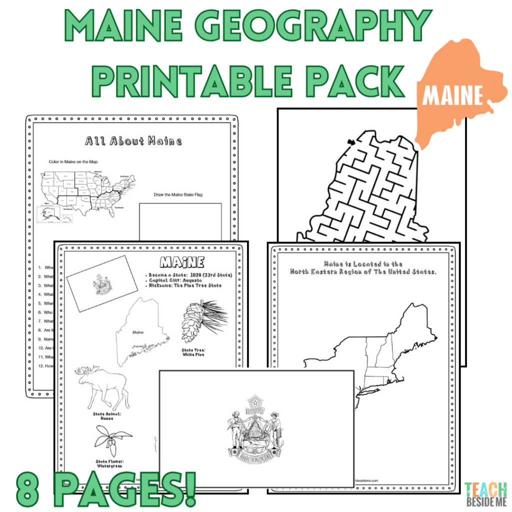
This 8-page printable geography pack helps students explore Maine through maps, research, and creative learning activities.
Included in this pack:
- Maine Fact Coloring Page (state bird, flower, flag, and animal)
- Northeastern States Regional Map
- State Landmark Coloring Page
- Maine Info Worksheet for student research
- Blank U.S. Map to locate Maine
- Maine State Map – label cities, rivers, lakes, and neighboring areas
- Large Maine State Flag Coloring Page
- Maine-Shaped Maze Activity

How to Use This Geography Pack
This printable set works well for homeschool or classroom geography lessons.
- Begin by reading the Maine fun facts together.
- Locate Maine on the U.S. and regional maps.
- Find the Atlantic Ocean and identify Maine’s neighboring state and Canadian provinces.
- Complete the research worksheet using an atlas or trusted online resources.
- Reinforce learning with the coloring pages and maze.
- Extend your study with an ocean science activity.
Recommended resources:
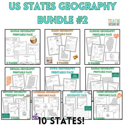
Leaning more states? Grab this in the discounted 10 state bundle: U.S. States Geography Bundle #2 – 10 State Activity Packs
Maine Ocean Science Connection
With its long coastline along the Atlantic Ocean, Maine is a wonderful state to connect with an ocean science lesson. Its coastal waters provide habitats for everything from tiny plankton and sea stars to seals and whales.
Learn more about what happens beneath the surface with our Ocean Zones Snack Cup. This edible science activity introduces kids to the different zones of the ocean and some of the fascinating animals that live at different depths.
Maine Geography Learning Extensions
Read-Aloud Pairings
- One Morning in Maine by Robert McCloskey
- Blueberries for Sal by Robert McCloskey
- Miss Rumphius by Barbara Cooney
These classic picture books are especially fun additions to a Maine study because their settings and illustrations help children picture the coastal and rural landscapes of the state.
Virtual Field Trips
- Explore Acadia National Park
- Visit a Maine lighthouse virtually
- Learn about the rocky coastline and tide pools
- Explore Mount Katahdin and the Appalachian Trail
Hands-On Activities
- Create a model lighthouse and test ways to make the structure stable or to light it up
- Make a Maine coastline or tide-pool diorama
- Research animals that live along Maine’s rocky shores
- Compare evergreen trees and deciduous trees found in northeastern forests
Cross-Curricular Connections
- Learn how ocean tides change the coastline throughout the day.
- Investigate how lighthouses help ships navigate dangerous coastlines.
- Study the life cycle and habitat of the American lobster.
- Compare Maine’s rocky coastline with the sandy beaches and wetlands of other Atlantic states.
- Locate the Appalachian Trail and trace its route from Georgia to Maine.
More State Geography Lessons to Explore
- Louisiana
- Kentucky
- Kansas
- Iowa
- Indiana
- Maryland
- U.S. Geography Lessons
- USA Landmarks Handwriting Practice
Continue through the entire 50 States Geography Series to explore the United States one state at a time!