Maryland State Geography for Kids: Printable Learning Pack
This post may contain affiliate links.
Next in our U.S. Geography series is Maryland! Known as The Old Line State, Maryland may be one of the smaller states in the country, but it has an incredible variety of landscapes. From the Appalachian Mountains in the west to the Chesapeake Bay and Atlantic Ocean in the east, Maryland is a wonderful state for exploring geography, waterways, wildlife, and American history.
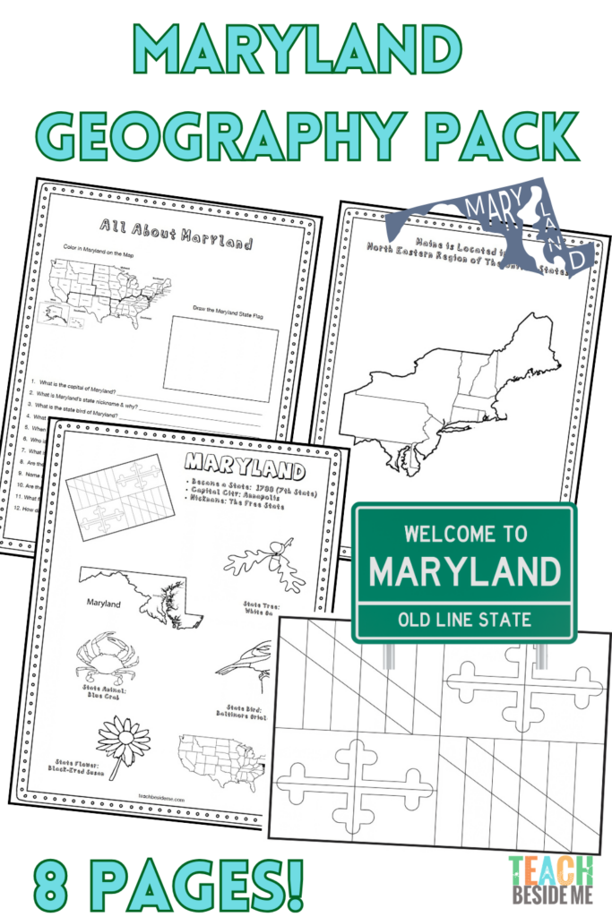
This printable Maryland geography pack helps kids learn about the state’s geography, landmarks, and symbols through maps, research, coloring, and hands-on learning activities.
Fun Facts About the State of Maryland
Start your Maryland state study with these interesting facts:
- Maryland became the 7th state to join the United States on April 28, 1788.
- The state capital is Annapolis, while the largest city is Baltimore.
- Maryland is nicknamed “The Old Line State.”
- The state bird is the Baltimore Oriole, and the state flower is the Black-Eyed Susan.
- Maryland borders Pennsylvania, Delaware, Virginia, and West Virginia, as well as Washington, D.C.
- The Chesapeake Bay divides much of Maryland into eastern and western regions.
- The Chesapeake Bay is the largest estuary in the United States.
- Maryland has coastline along both the Chesapeake Bay and Atlantic Ocean.
- The state is famous for its blue crabs, an important part of the Chesapeake Bay ecosystem and Maryland culture.
- Annapolis is home to the United States Naval Academy.
- Maryland played an important role in the War of 1812. The defense of Fort McHenry inspired Francis Scott Key to write the words that became “The Star-Spangled Banner.”
- Although Maryland is relatively small, its landscape includes mountains, forests, farmland, wetlands, beaches, and coastal plains.
Maryland’s Geography and Landscape
Maryland is sometimes called “America in Miniature” because so many different types of landscapes can be found within its borders. Travel across the state and you’ll encounter mountains, rolling hills, forests, farmland, wetlands, rivers, beaches, and coastal areas.
Western Maryland contains part of the Appalachian Mountains, including the state’s highest point, Hoye-Crest. Moving east, the landscape transitions into rolling hills and fertile farmland before reaching the enormous Chesapeake Bay.
The Chesapeake Bay is an estuary, a place where freshwater from rivers and streams mixes with saltwater from the ocean. Many rivers flow into the bay, including the Susquehanna, Potomac, Patuxent, and Choptank Rivers. These waterways create important habitats for fish, birds, oysters, blue crabs, and many other species.
Farther east, Maryland reaches the Atlantic Ocean. The state’s Eastern Shore includes coastal wetlands, sandy beaches, and barrier islands. These waterways and coastal environments are among Maryland’s most important natural resources and support fishing, farming, recreation, shipping, and tourism.
Maryland State Geography Printable Pack
This 8-page printable geography pack helps students explore Maryland through maps, research, and creative learning activities.
Included in this pack:
- Maryland Fact Coloring Page featuring state symbols
- Mid-Atlantic States Regional Map
- Maryland Landmark Coloring Page
- Maryland Info Worksheet for student research
- Blank U.S. Map to locate Maryland
- Maryland State Map – label cities, waterways, and neighboring states
- Large Maryland State Flag Coloring Page
- Maryland-Shaped Maze Activity
Get your Copy of the Maryland State Geography Pack Now!

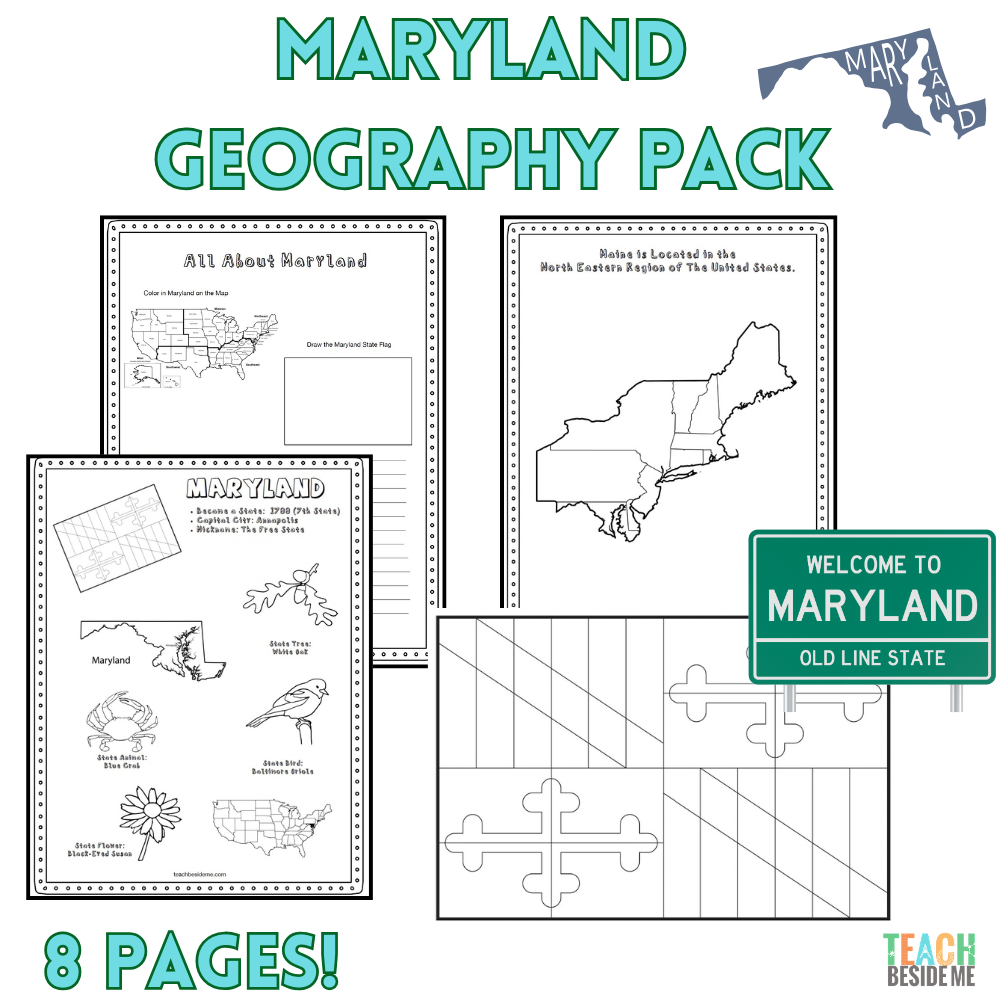
Leaning more states? Grab this in the discounted 10 state bundle: U.S. States Geography Bundle #2 – 10 State Activity Packs
How to Use This Geography Pack
This printable set works well for homeschool or classroom geography lessons.
- Begin by reading the Maryland fun facts together.
- Locate Maryland on the U.S. and regional maps.
- Find the Chesapeake Bay and Atlantic Ocean and discuss how water has shaped the state’s geography.
- Complete the research worksheet using an atlas or trusted online resources.
- Reinforce learning with the coloring pages and maze.
- Extend your state study with hands-on ecosystem activities.
Recommended resources:
Maryland Chesapeake Bay STEM Connection
One of Maryland’s most important geographic features is the Chesapeake Bay. The bay is an estuary where freshwater flowing from rivers meets saltwater from the Atlantic Ocean, creating a unique environment where many different plants and animals can thrive.
Explore how animals depend on their environments with our Animal Habitat Sorting Mats, or use our Food Chain Game to investigate how plants and animals are connected within an ecosystem.
You can also explore the deeper waters beyond Maryland’s coast with our Ocean Layers Snack Cup, a fun edible science activity that introduces kids to the different zones of the ocean and the animals that live there.
➡ Extend your Maryland geography lesson with our Animal Habitat Sorting Mats, Food Chain Game, and Ocean Zones Snack Cup.
Maryland Geography Learning Extensions
Read-Aloud Pairings
- Chadwick the Crab by Priscilla Cummings
- Misty of Chincoteague by Marguerite Henry – a fun companion if you’re extending your study into the nearby Delmarva Peninsula and Chesapeake region
Virtual Field Trips
- Explore Fort McHenry National Monument and Historic Shrine
- Visit the Chesapeake Bay
- Explore Maryland’s Atlantic coastline and Assateague Island
- Take a virtual look around historic Annapolis
Hands-On Activities
- Create a model of the Chesapeake Bay watershed.
- Research animals that live in a Chesapeake Bay estuary.
- Build a simple food web featuring blue crabs, oysters, fish, birds, and aquatic plants.
- Compare freshwater, saltwater, and brackish-water habitats.
Cross-Curricular Connections
- Learn what makes an estuary different from a river or ocean.
- Trace the rivers that flow into the Chesapeake Bay.
- Study the War of 1812 and the story behind “The Star-Spangled Banner.”
- Investigate how wetlands help protect coastal areas and provide wildlife habitat.
- Compare Maryland’s Appalachian Mountains with its low-lying coastal plain.
More State Geography Lessons to Explore
Continue through the entire 50 States Geography Series to explore the United States one state at a time!